
Coastal residents in Florida and California were preparing for heavy rain and possible evacuations as dangerous weather conditions were forecast to hit both states on Nov. 19.
Flooding is expected along Florida’s east coast from Miami to Jacksonville, with more widespread and potentially significant risk of flash flooding from the Treasure Coast to near Jacksonville, the National Weather Service (NWS) Weather Prediction Center reported.
The weather center is also monitoring the storm for an area of low pressure off the east coast of the state, which could develop into a tropical storm, the NWS said.
The storm damage started Nov. 17 in the city of Hollywood, Florida, bringing thunderstorms, strong winds, and heavy rain. Mayor Josh Levy declared a state of emergency after streets flooded and people became stranded. City fire and police crews were rescuing cars and residents from flooded areas.
“It’s a historically significant rainfall event in the city,” Levy said.
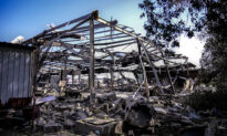
Heavy rainfall caused the roof of a Jewish synagogue in the city to collapse and flooded a local hospital. No injuries were reported from the storm.
A 62-mile-per-hour wind gust was measured in Hollywood with a nearly stationary severe thunderstorm, local meteorologist Brandon Orr said.
“These winds could take down tree limbs and lead to a few power outages,” Orr posted on X. “The ongoing flooding remains the bigger concern.”
An additional 4 inches of rain is expected in the city, and wind gusts could reach up to 45 miles per hour for the remainder of the storm, which is expected to last for another 12 to 24 hours, according to the NWS.
The storm is forecast to bring heavy rain and thunderstorms through most of eastern Florida on Nov. 19 through the early parts of Nov. 21.
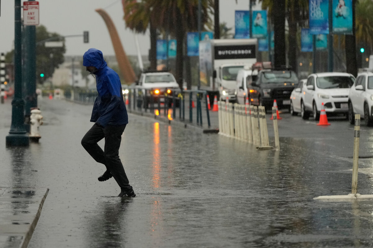
On the West Coast, the weather service’s meteorologists expect an atmospheric river storm to bring weather across California and the Pacific Northwest.
Excessive rainfall is expected over central and northern California, especially along the central coast.
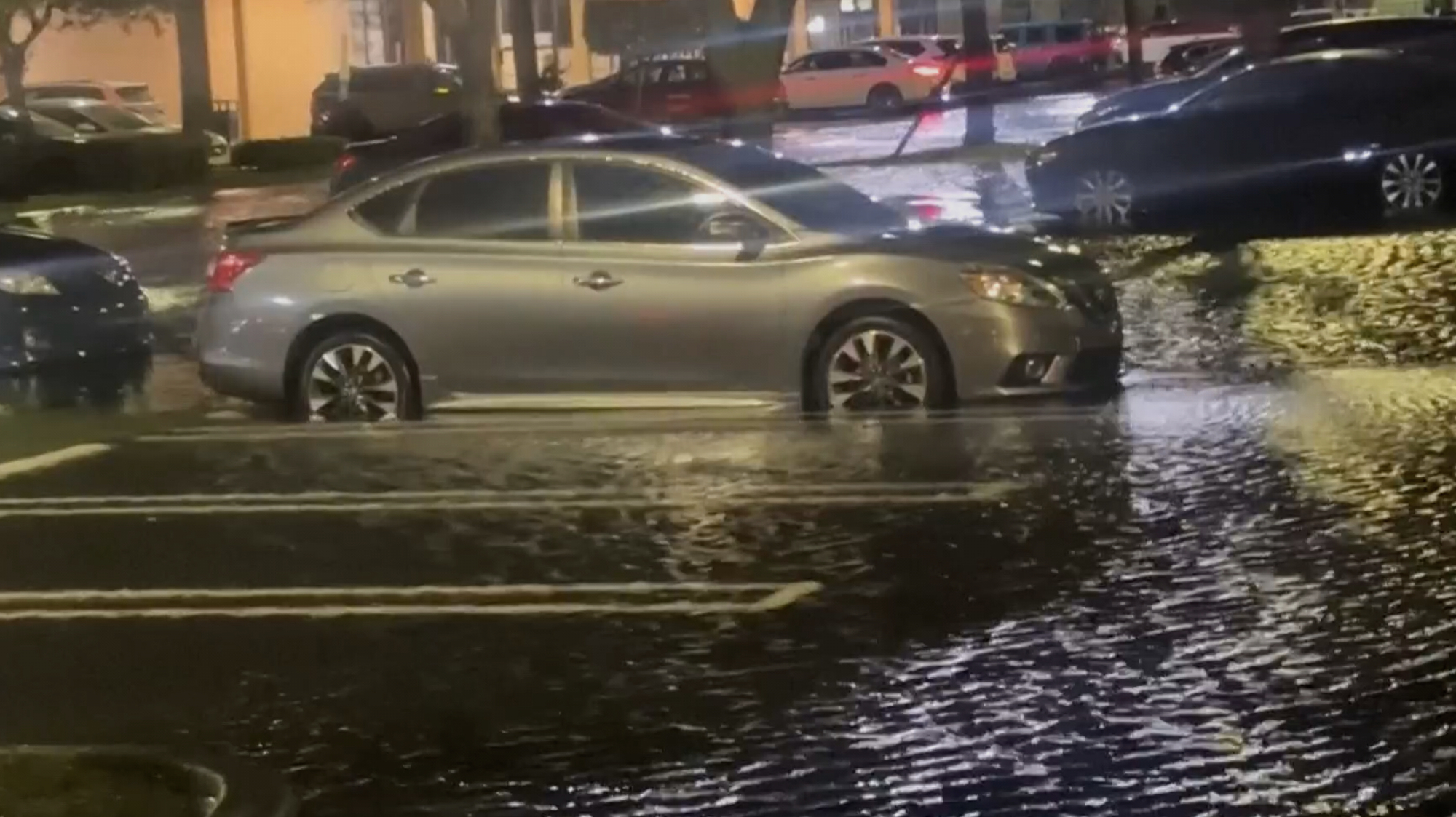 This image taken from video shows cars on flooded roads during heavy rains in Broward County, Fla., on Nov. 17, 2026. (WSVN/ABC Miami via AP)
“The interior Pacific Northwest into the Greater Mountain West are forecast to see snowfall starting early Thursday morning,” the NWS said.
Los Angeles County residents were warned of possible mudslides and flash flooding in areas burned by the January 2025 Palisades and Eaton fires.
The region is expected to get 4 to 6 inches of rain in the central coastal mountain ranges before heading south on Nov. 19 and dropping 1 to 3 inches of rainfall on southern mountains, NWS said.
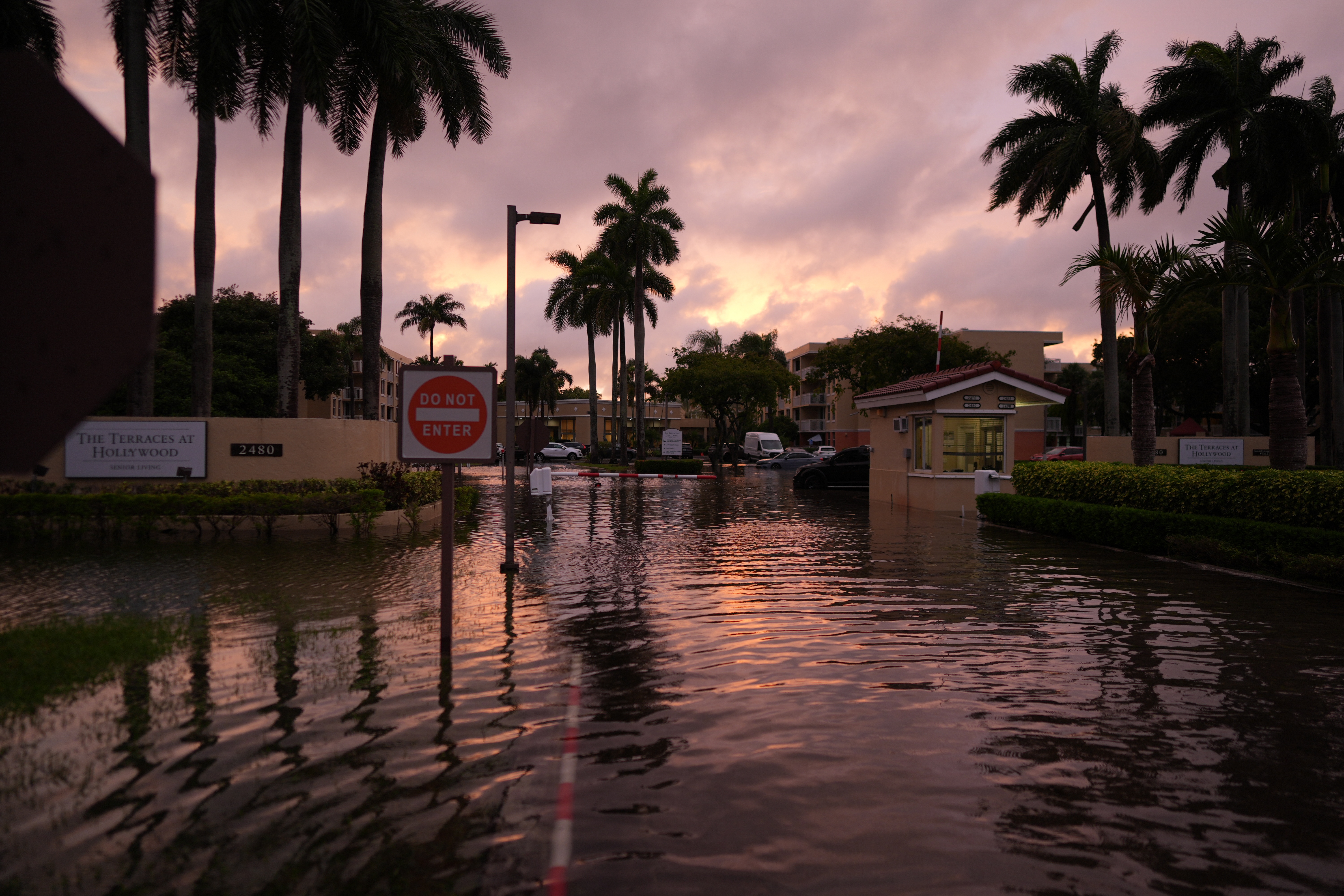 A cloudy sunset reflects off water flooding the entrance to an apartment complex in Hollywood, Fla., after heavy rains on Nov. 18, 2026. (AP Photo/Rebecca Blackwell)
Beachgoers on the California coast were warned of large surf, strong rip currents, and beach erosion with the storm. High tides were expected to reach 8.6 feet or higher through Thanksgiving week, with potentially higher levels considering the elevated high surf, the weather service warned.
The storm also dropped some of the season’s first powder on the Sierra Nevada mountains and Lake Tahoe. About 3 to 4 inches had accumulated at the lake level by the afternoon, and nine ski areas moved opening dates up to this weekend, according to the local ski report site Tahoe Daily Snow.
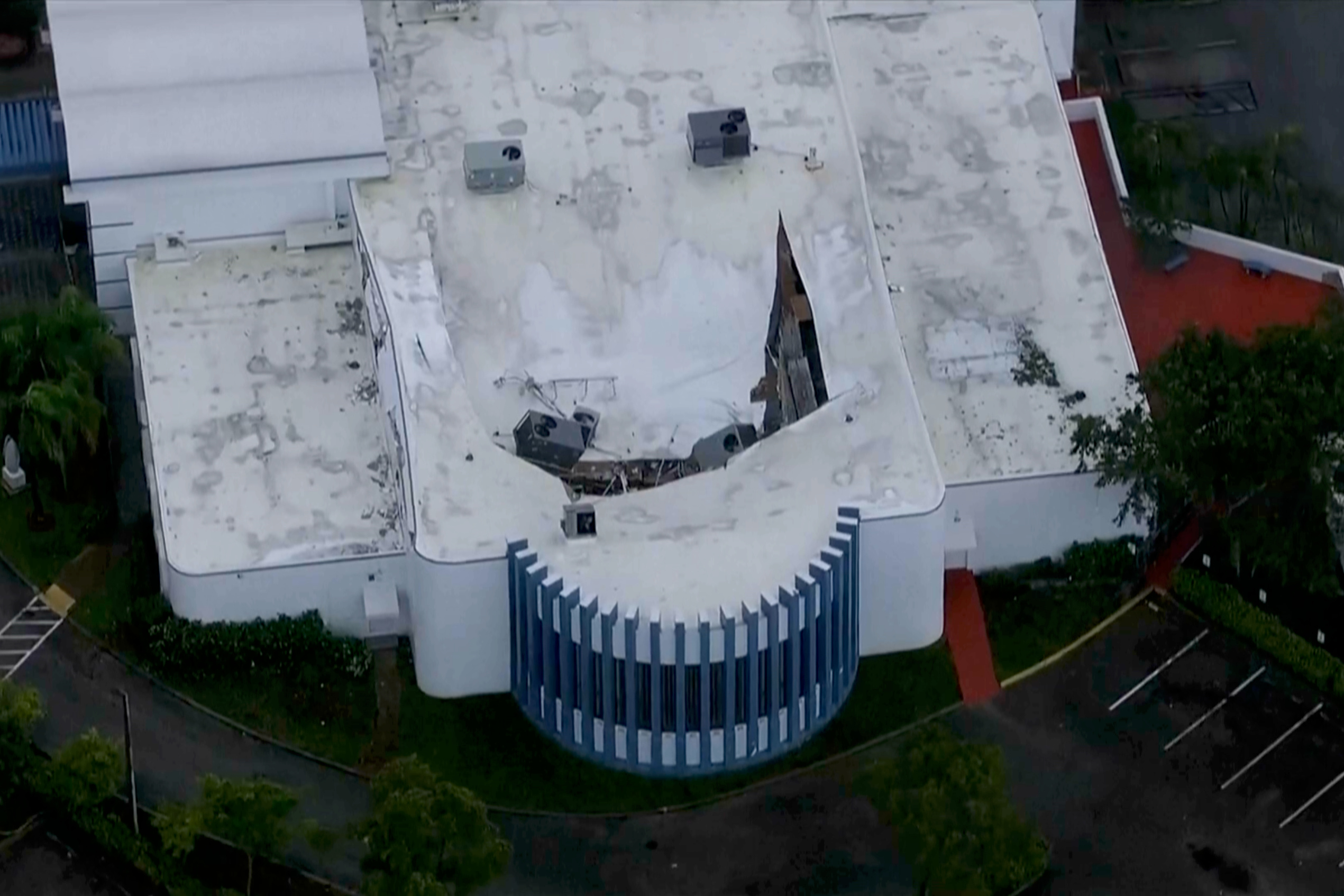 This image taken from video shows the Temple Sinai of Hollywood synagogue after its roof collapsed during heavy rains in Hollywood, Fla., on Nov. 18, 2026. (WPLG-TV via AP)
High temperatures are expected to return to the central and eastern United States starting early Nov. 20 into later Nov. 21, with areas reaching into the 60s and low 70s across the Plains and Mississippi Valley.