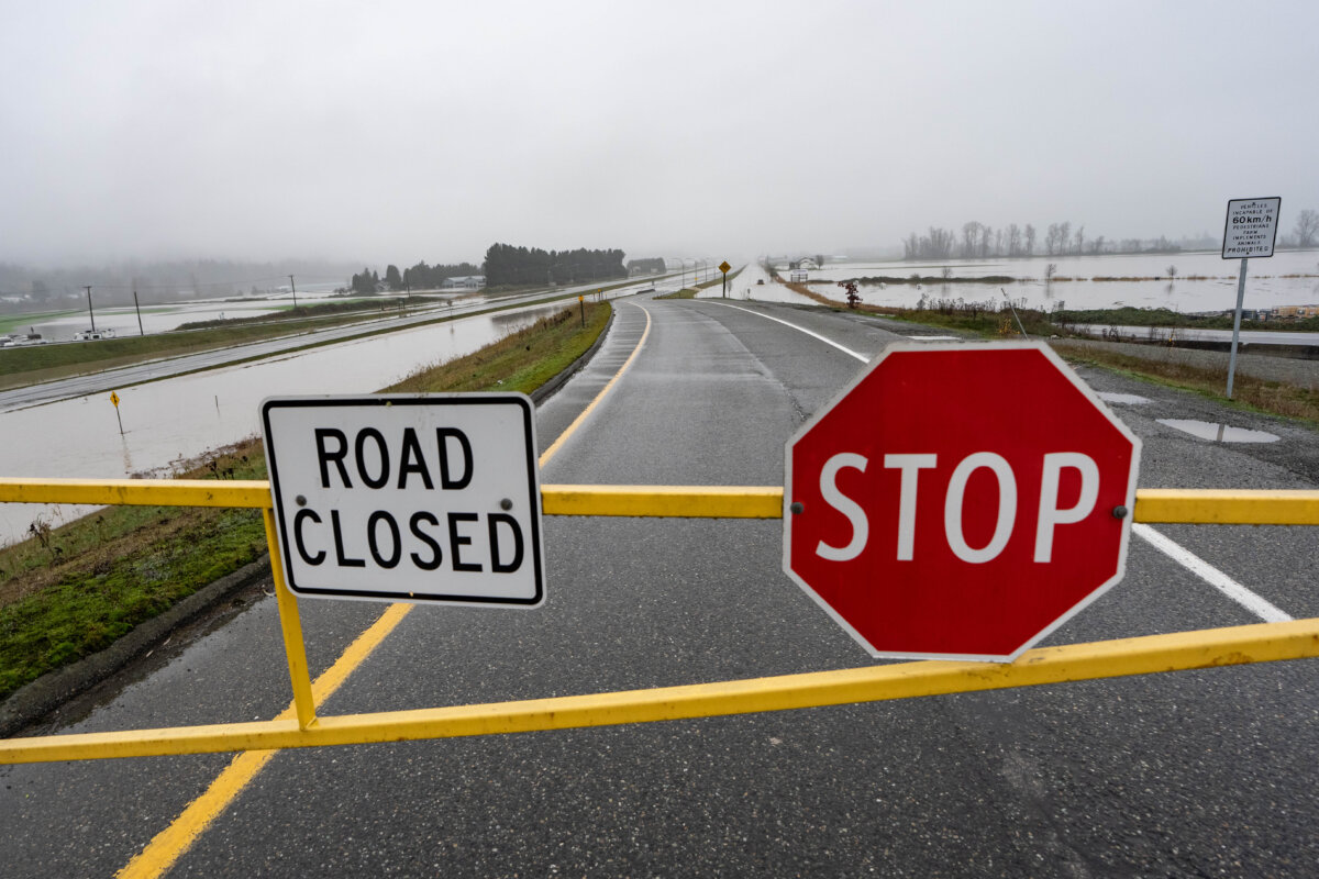

The main access road to the port city of Prince Rupert in northwest British Columbia has reopened after being shut down due to flooding caused by heavy rainfall.
British Columbia’s Highway 16 was closed on Dec. 30 in two large sections between Prince Rupert and Terrace, DriveBC said on Dec. 30.
The highway was closed for 42 kilometres between Rainbow Avalanche Gates and Maintenance Boundary SA27, and for 84.9 kilometres between Rainbow Avalanche Gates and Shames Mountain Road.
DriveBC said there was no detour available; however, the highway re-opened around 2:15 p.m. PST on Dec. 30.
Environment Canada says more than 200 millimetres of rain have fallen in Prince Rupert since Dec. 28, triggering weather warnings and flood watches.
The City of Prince Rupert issued a flood warning alert on Dec. 27, “due to changing temperatures” in the area. The city said it had been clearing snow from roads and sewer grates to prepare for the anticipated temperature change, and encouraged residents to do the same to prevent localized flooding.
The Haida Nation has also posted an “extreme flooding” alert, saying the Haida Gwaii archipelago off British Columbia’s north coast has experienced “high levels of rain after heavy levels of snow.”
The First Nation said these weather events have caused washouts across Haida Gwaii and there are multiple areas of flooding on roads and highways. Haida Gwaii’s Highway 16 is closed for a 5.3 kilometre stretch between Lawnhill Road and Miller Road due to washout, and there is no detour available, DriveBC said in its update around 8:45 a.m. PST on Dec. 30.
“Be aware that backroads and remote routes are not safe alternatives,” the Haida Nation said. “Conditions are unstable, many forest service roads are inaccessible or impassable, and attempting to use them may put individuals at serious risk and impede emergency response efforts.”
A flood watch remains in effect on British Columbia’s north coast and Haida Gwaii, according to the B.C. River Forecast Centre.
While Environment Canada has lifted its rainfall warnings for Prince Rupert and Haida Gwaii, there is still a rainfall warning in place for B.C.’s north coast inland, including Kitimat, as of 4:25 a.m. PST on Dec. 30.
The area is expected to experience another 20 to 30 millimetres of rain on Dec. 30, after nearly 90 millimetres of rain had already been reported since the afternoon of Dec. 27, bringing the total expected rainfall amounts to nearly 120 millimetres.
“Water will likely pool on roads and in low-lying areas,” Environment Canada said. “Visibility will likely be suddenly reduced at times. Landslides may occur in vulnerable areas such as steep slopes, deforested areas or recent burn scars.”
The Canadian Press contributed to this report.