
The residents on Hatteras Island, North Carolina, could remain stranded for several more days, the National Weather Service said, as the Outer Banks continue to feel the effects of the second Nor’easter this fall.
“This is a long-duration event,” the NWS warned on Oct. 21. “At high tide today through Thursday, the water level is expected to be similar to or HIGHER than we have already experienced.
“Substantial erosion has already occurred with overwash on side streets from Mirlo Beach through Rodanthe, and major overwash around Pea Island Visitor Center.”
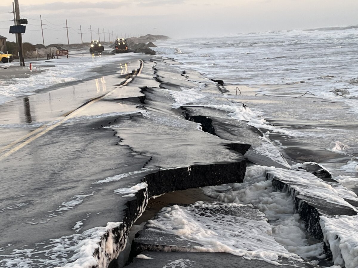
Scenes of crumbling asphalt and sand dune reconstruction appeared across social media, offering a glimpse of the situation in the Outer Banks.
Ferry services remain disrupted, and North Carolina’s Department of Transportation reports that parts of NC-12—the island chain’s main thoroughfare—were closed in both directions because of flooding. County officials said the department could not establish a reopening timeline until the conditions improved to the point that crews could deploy to assess the damage.
Although this storm never made landfall, it brought strong winds and coastal flooding to the barrier islands for a period of several days, triggering a mandatory evacuation for visitors over the weekend.
The National Weather Service recorded more than five feet of onshore flooding on the islands at high tide on Oct. 20, and it forecast that tide level could reach close to six feet sometime on the afternoon of Oct. 21.
That flooding comes in with hazardous marine conditions that manifest on the shoreline in life-threatening surf featuring waves seven to 12 feet high, it said, and offshore, those waves exceeded 20 feet, creating a dangerous hazard for boaters.
Minor to moderate coastal flooding persisted on Oct. 21, ranging from 12 inches to four feet above ground level, the weather service said.
Ocean overwash closed NC-12 on Hatteras Island, and there was a possibility that portions of the highway on Ocracoke Island could be affected.
“About 800 feet of pavement has now been damaged by forces from the offshore Nor’easter,” the North Carolina Department of Transportation said in a post on X. “Please stay safe. Avoid travel on N-C12 on Pea Island.”
Meanwhile, north-northeast wind gusts of 30–35 mph continue to impact the barrier island chain. The National Weather Service warned of “isolated power outages and trees downed along the Outer Banks,” and also difficult traveling conditions for high-profile vehicles.
Conditions are expected to begin to subside starting on Oct. 22, but uncertainty remains.
“Do not let your guard down; we still have multiple days and high tide cycles to get through,” the NWS urged residents.
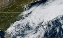
The storm system is considered a non-tropical low-pressure system. Along the northeast and Mid-Atlantic United States, the storms are generally called Nor’easters for the northeast winds they produce. The system has moved east-northeast throughout the week and, according to the National Hurricane Center, has a 50 percent chance of becoming a subtropical storm in the next 48 hours.
“Regardless of the status of the system,” the NWS said on Oct. 21, “high winds, coastal flooding, and dangerous surf are expected along portions of the U.S. East Coast during the next few days.”